
Sugarcane
Sucrose Level
Update these points
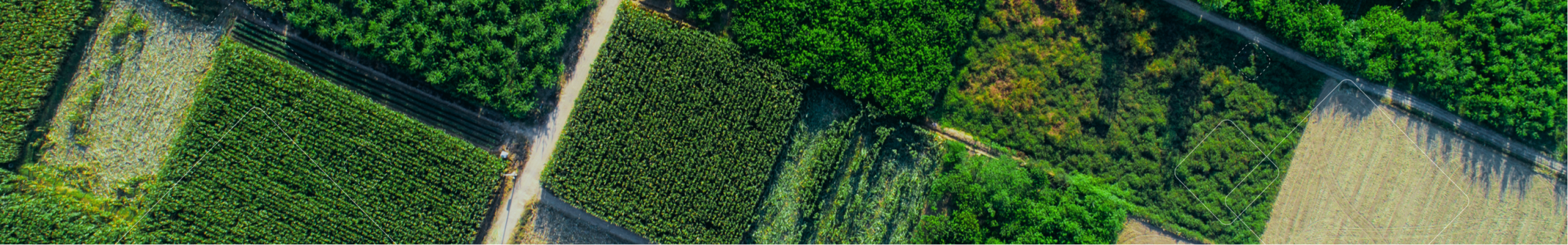
Maps that allow farmers to monitor crop-specific health indicators
Our measurements are crop-specific, and combine both multispectral and microwave remote sensing, which means we can get data even in cloudy conditions
Monitoring plant health can help growers detect issues in their fields and understand their variability


Yield Prediction
Update these points
Complete fertilizer application guide based on satellite and weather data, specially developed for cereal and canola crops
Using the right amount of nitrogen at the right place and time means you can achieve a good quality and yield with minimal fertilizer use as well as environmental impact
Crop Health
Update thesepoints
Maps that allow farmers to monitor crop-specific health indicators
Our measurements are crop-specific, and combine both multispectral and microwave remote sensing, which means we can get data even in cloudy conditions
Monitoring plant health can help growers detect issues in their fields and understand their variability


Water Stress
Maps showing the level of water stress in the field
Using multispectral data including infrared light, we can measure the plant moisture and heat to determine the water status and stress levels
With better information about water needs, growers can direct their irrigation equipment and understand a key crop stressor that impacts yields
Soil Moisture
Soil moisture analysis provides clear maps of farmers’ fields that indicate soil moisture status, using an intuitive scale of red (dry) to blue (saturated with water).
With access to these maps (minimum x1 per week), farmers can detect and deal with irrigation-threatening issues early, before the yield is impacted. Cheaper and more time-efficient than on-the-ground field surveys.


Fertilization
Maps showing the level of water stress in the field
Using multispectral data including infrared light, we can measure the plant moisture and heat to determine the water status and stress levels
With better information about water needs, growers can direct their irrigation equipment and understand a key crop stressor that impacts yields
Soil Organic Carbon
Soil moisture analysis provides clear maps of farmers’ fields that indicate soil moisture status, using an intuitive scale of red (dry) to blue (saturated with water).
With access to these maps (minimum x1 per week), farmers can detect and deal with irrigation-threatening issues early, before the yield is impacted. Cheaper and more time-efficient than on-the-ground field surveys.